Above the cloudline
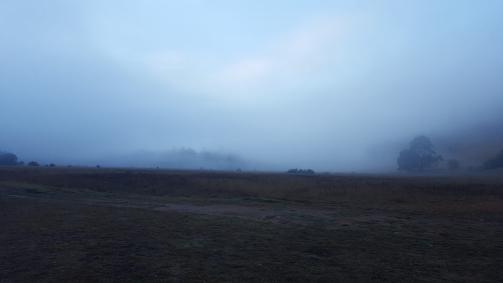
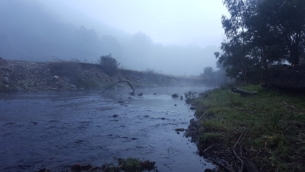
Herne Spur. A track synonymous with the Victorian High Country was in our sights as we awoke to a crisp, foggy High Country morning. In contrast to the previous day, a relatively cruisy 60km hop allowed for a late start and welcome hot breakfast. It felt like a rebirth of sorts, with magic weather and the most anticipated parts of the trip still to come.
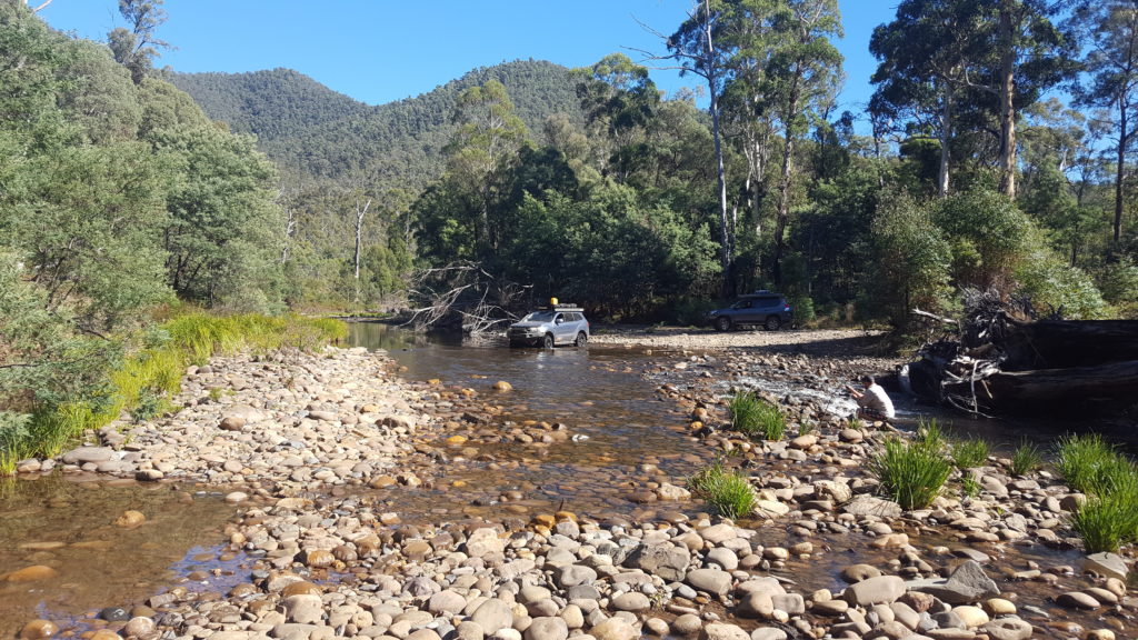
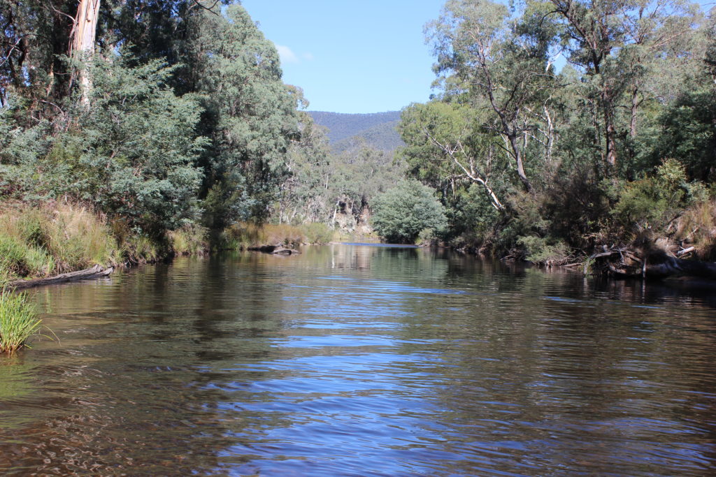
Following the Wonnangatta River along the valley it isn’t long before we happen onto our first opportunity to get the tyres properly wet. The Wonnangatta River is about as typical of a crystal clear Victorian High Country stream you can get. Its glass like surface broken only intermittently by the odd cluster of river stones protruding from the surface. While the crossings were generally shallow and straightforward, this type of driving was as much what we came for as the challenging low range ascents and descents.
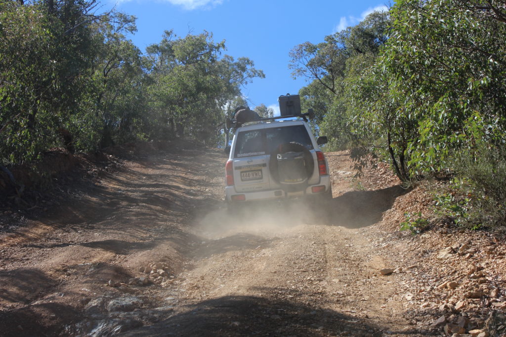
As if out of nowhere we arrived at the foot of Herne Spur. Hema’s caution to not attempt when wet certainly stoked the fires of anticipation. With low range selected via the various levers, dials and buttons, the time for discussion was over. Quite literally pointing the vehicles at the sky, the track gradient peaked early at about 25 degrees.
The surface was dry and the footing excellent despite the angle, leaving the driver to select the most appropriate line and apply even pressure to the throttle only. Unlike many other Victorian High Country tracks there is little chance of inadvertently rolling off the side of Herne Spur. This allows both driver and passenger the chance to catch glimpses of the surrounding peaks during the ascent.
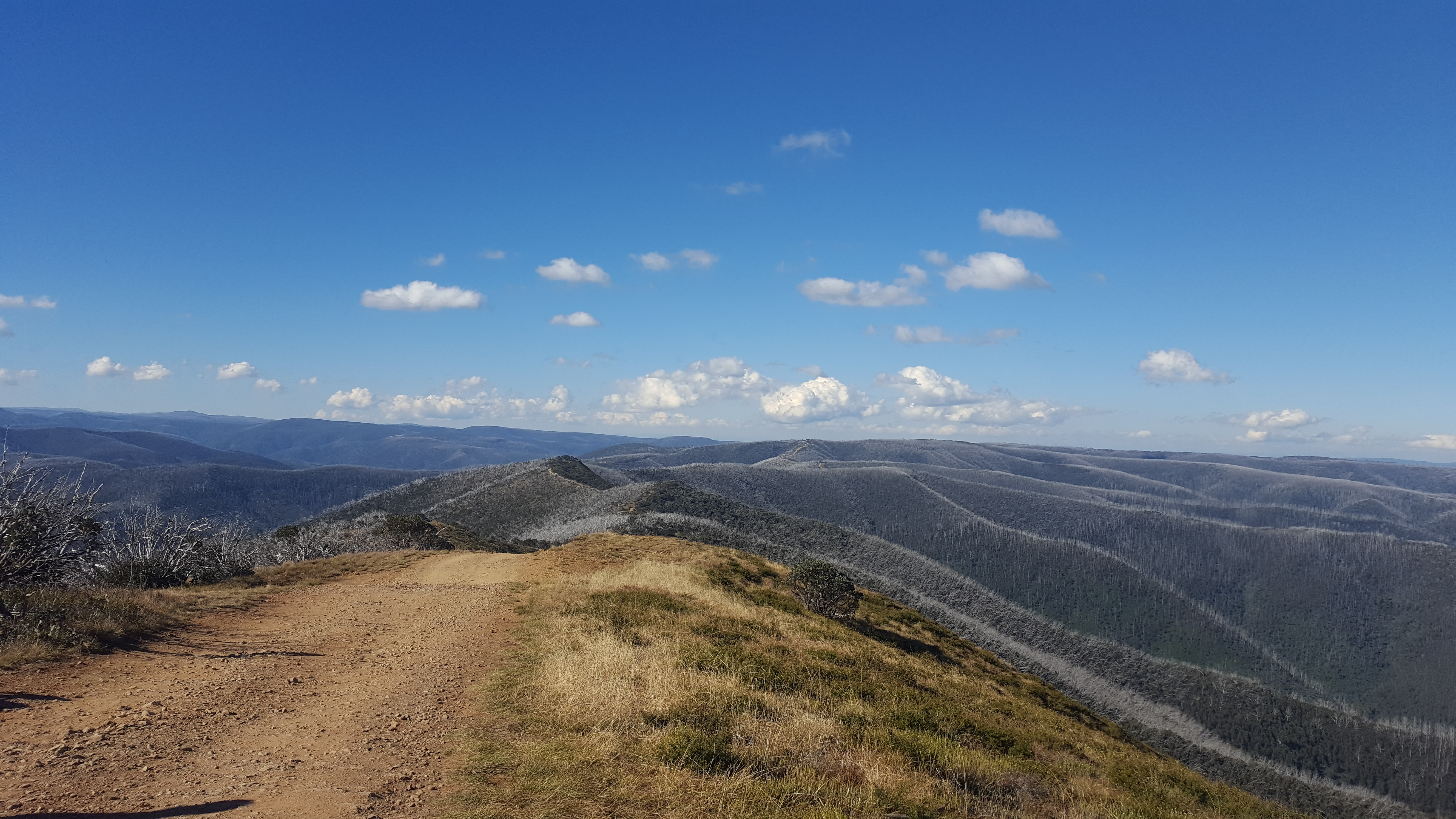
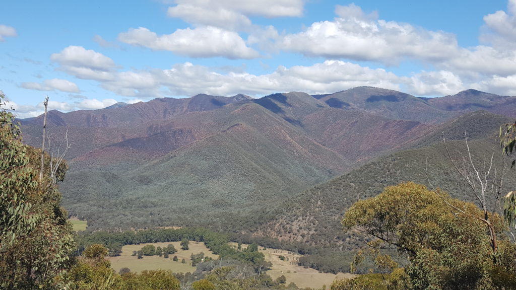
The Cynthia Range Track is leisurely in comparison. It traverses a ridgeline providing views for days out either side window. Arriving at the fork for the Eagle Vale Track we swung the vehicles right and straight over the side of Mt Cynthia. Severe track degradation in parts sees several tight and slightly unnerving lines taken on both high and low sides of the track (along with the obligatory wheel lift here and there). The view out the windscreen across to the side of Billy Goat Bluff is spectacular.
Following the graded stretch of Wonnangatta Rd we identified Black Snake Creek camping area as our next temporary accommodation venue. With plenty of available daylight we set about the now familiar ritual of erecting shelters, fire preparation etc. It might as well have been Christmas Eve, at least in a metaphoric sense, as campfire discussions turned from recounting of the day’s events to the four wheel drive touring gifts of Billy Goat Bluff and the Crooked River Track on offer tomorrow.
Throughout the many years spent watching, discussing and reading about four wheel drive touring destinations there had been two particular experiences I had rather selfishly wanted for myself. The first was the Old Telegraph Track and the second was Billy Goat Bluff. Images of vehicles crossing “the knifeblade” saturated the pages of the various magazines and websites almost as much as vehicles tackling the infamous Gunshot crossing. To say this trip was planned around tackling this track would be untrue however, having come all this way there was no chance of leaving without ticking that box!
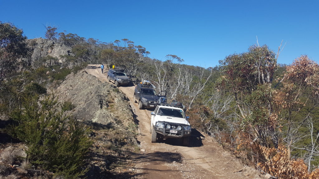
Stacked up contour lines on the map didn’t tell the full story as we set off up the track. There is little to be gained by pushing your truck hard over the 10-odd kilometres of climb. The low range / 2nd gear sweet spot allows a controlled ascent at a speed where the driver can take in the views.
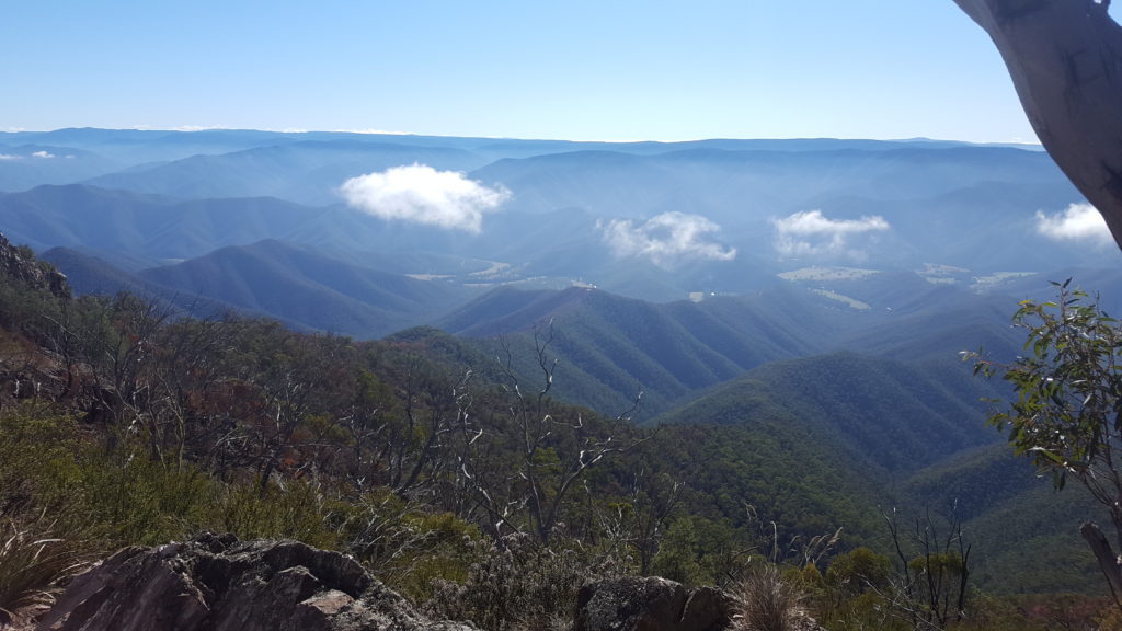
In no time we arrive at the knifeblade and it is everything we anticipated and some. The ridgeline falls away sharply on both sides of the track to leave approximately 1 ¼ cars worth of trafficable roadway. It is a truly amazing spectacle and little more can really be said to describe it.
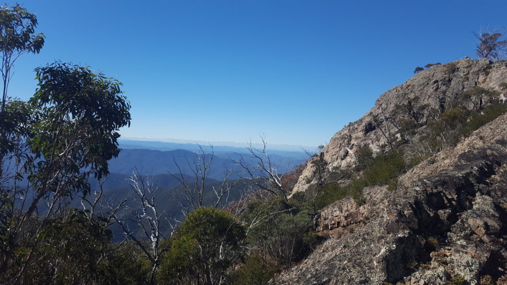
A short haul from the knifeblade is a rest area and from here the lookout can be accessed via a walking track. We figured it would be difficult to top the views we had been presented with on the way up and settled for a snack and a short break in the carpark. Time has a very real habit of getting away from you in a place like this. With the morning gone it was time to press on to Dargo and then the Crooked River Track.
The trip back down was handled much like the climb but with a smidgen of brake here and there to stop the vehicle running away from you. It is important to stay patient with long descents as excessive speed can be difficult to “wash off” without locking wheels. Something that should be avoided at all costs. By the same token, over-reliance on the brakes is similarly fraught with danger.
Back onto the graded oasis that is Wonnangatta Rd we made the short hop to Dargo for a refuelling stop of two kinds. A quick squirt of diesel to carry us through the remainder of the trip and a welcome meal at the Dargo Hotel. One of the best “parmies” of recent times followed by a cleansing ale and some time spent checking out the historical memorabilia adorning the walls of this famous watering hole was time well spent.
While descending Billy Goat Bluff earlier in the day we spied a track in the distance which appeared to climb fairly straight up a long steep spur. A quick check of the map had identified this as Conway Track and keen for another dose of steep Victorian High Country driving we plotted a loop out of Dargo which would take in this little beauty on our way to the Crooked River Track.
Standing at the top you almost need to be looking at your feet to view the track as it disappears over the edge and as it would turn out, at 26 degrees, this would be the steepest and most technical descent we would undertake for the trip. Along with precise braking inputs, Conway Tack asks the driver to be equally adept at selecting the correct line to navigate the multitude of erosion gullies which criss-cross the track.
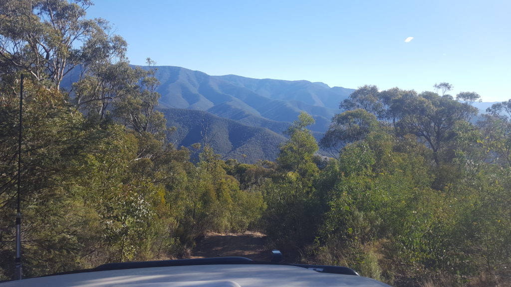
The start of the Crooked River Track can be easily missed and we picked it up with a right hand turn immediately before crossing the Kingswell Bridge heading back towards Billy Goat Bluff. You won’t be needing the locker along here and for the most part you probably won’t even need low range but this is a seriously amazing track to drive.
Following the Wonnangatta River past lush green fields and through beautiful pockets of bush this track delivers you to camping nirvana. Spoilt for choice is a great way to describe the camping opportunities along the Crooked River Track. If you are not careful you can find yourself passing up amazing spot after amazing spot in the hope of finding an even more amazing spot! We introduced ourselves to a beaut flat, grassy area on the banks of the river and set about what had come to know as a daily ritual.
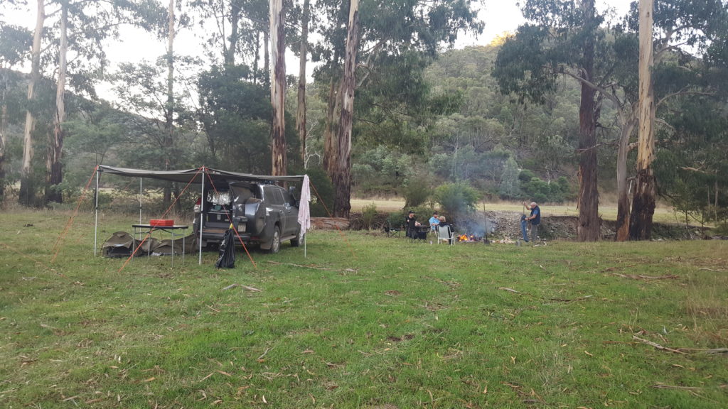
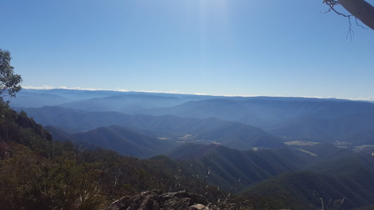
As first time travellers to the Victorian High Country it becomes all too easy to develop a sense of expectation. Call it entitlement, that each day will hold something slightly more amazing that the day before. It really is that kind of place. Never was this truer than on what would prove to be our final day of travel through the region, a day that would see us complete the Crooked River Track and close out the day at the Trig Point on Blue Rag Range.
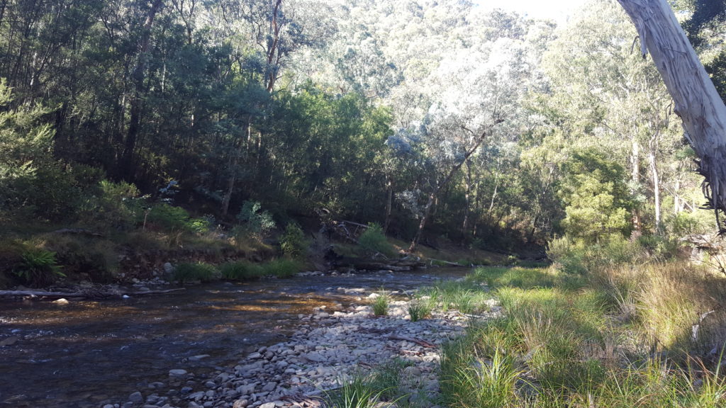
Over the course of the morning we would cross the Wongungarra River somewhere in the order of 20 times (but who’s counting). No two crossings the same and no one crossing more scenic that the next. The driving is quite straightforward. Progress can be quick so if you aren’t pushed for time it is worth stopping along the way to take in the surroundings. The immediate area is rich in gold mining history and if you look hard enough you can still see some evidence of this today.
We re-joinied Dargo High Plains Road not long after passing the Grant old town site. We headed left towards Hotham Heights and the Blue Rag Range. Trip planning, in particular, understanding travel times and distances is not an exact science. By the time we hit Blue Rag Range we had picked up approximately ½ a day on our journey. It pays to have a couple of back-up plans for just such an occasion and our plan B would have us in Bright by nightfall.
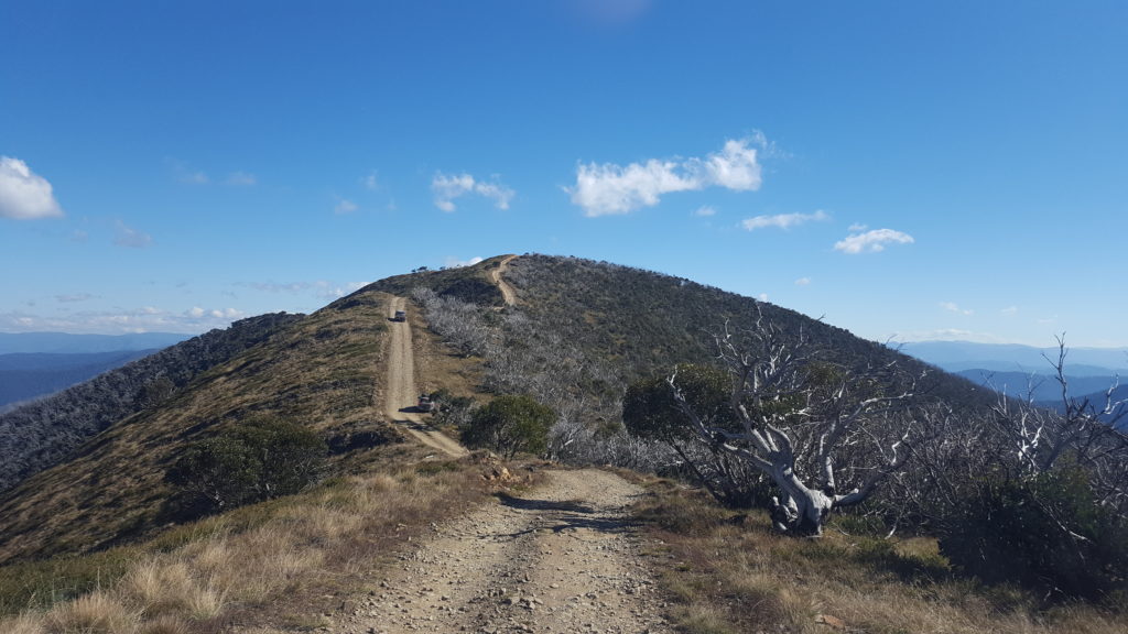
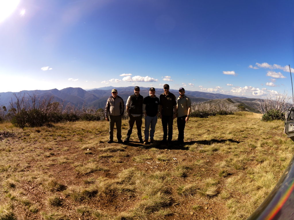
If a night spent camped in the snow was an apt way of commencing our Victorian High Country trip, standing at the trig point on Blue Rag Range in the afternoon sun was an equally impressive way to bookend it. Standing on the top of the initial short climb, you are quite literally on top of the world as you stare forth at the thin brown line which snakes its’ way across the range. Breathtaking views stretch on forever and in 360o panorama along what must be one of the most scenic tracks in the country. The feeling of true isolation belies the fact that you are only around 30 kilometres from the bitumen!
In some respects it is disappointing that I cannot retell a tale which saw hours spent winching vehicles up near vertical climbs and 3t trucks bobbing like corks through bonnet deep creek crossings but this is not what this trip was about. This was a true touring style trip through one of our country’s most idyllic and historic landscapes. A trip where the part of the brain dedicated to dealing with the stresses of vehicle recovery was instead filled with everlasting memories.
Our Victorian High Country trip was one that anybody motivated enough to leave behind the concrete jungle could take without building themselves an expedition type vehicle. Similarly, it doesn’t require cashing in 10 weeks of long service leave. We completed the trip inside 10 days and in a manner in which each vehicle returned a couple of shades darker in colour (temporarily of course) but otherwise unscathed. The single greatest entitlement of four wheel drive ownership is that these types of places remain accessible for all to enjoy.

