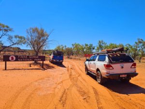
Kirrama Range Road
Upon its completion in 1941, the Kirrama Range Road simplified access to the rich timber resources of the Cardwell State Forrest. Up until the cessation of logging in 1988 the road was used almost exclusively for transport of cut timber to the mill in the nearby town of Kennedy. Nowadays the road is maintained by Cardwell Shire Council for public use and accessing Girringun National Park and Blencoe Falls.
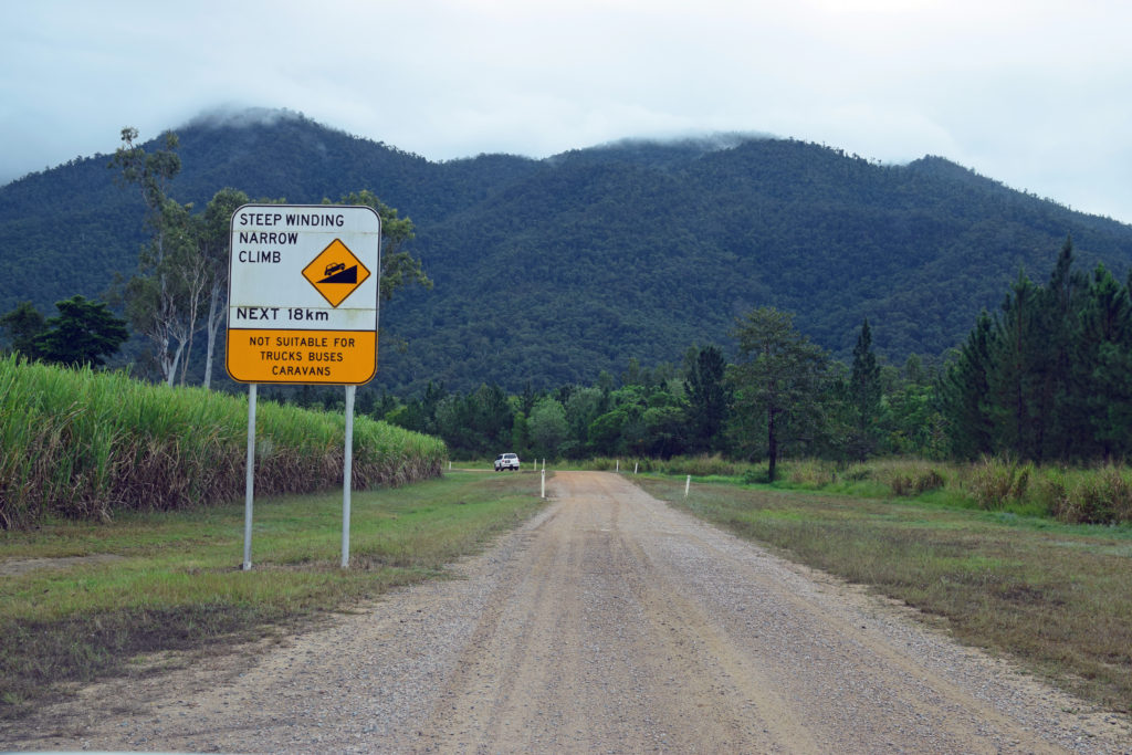
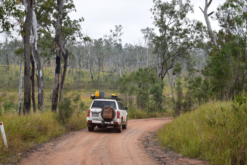
With the town of Kennedy in the rearview mirror, the right hand turn marking the start of Kirrama Range Road appears in a short 5kms or so.
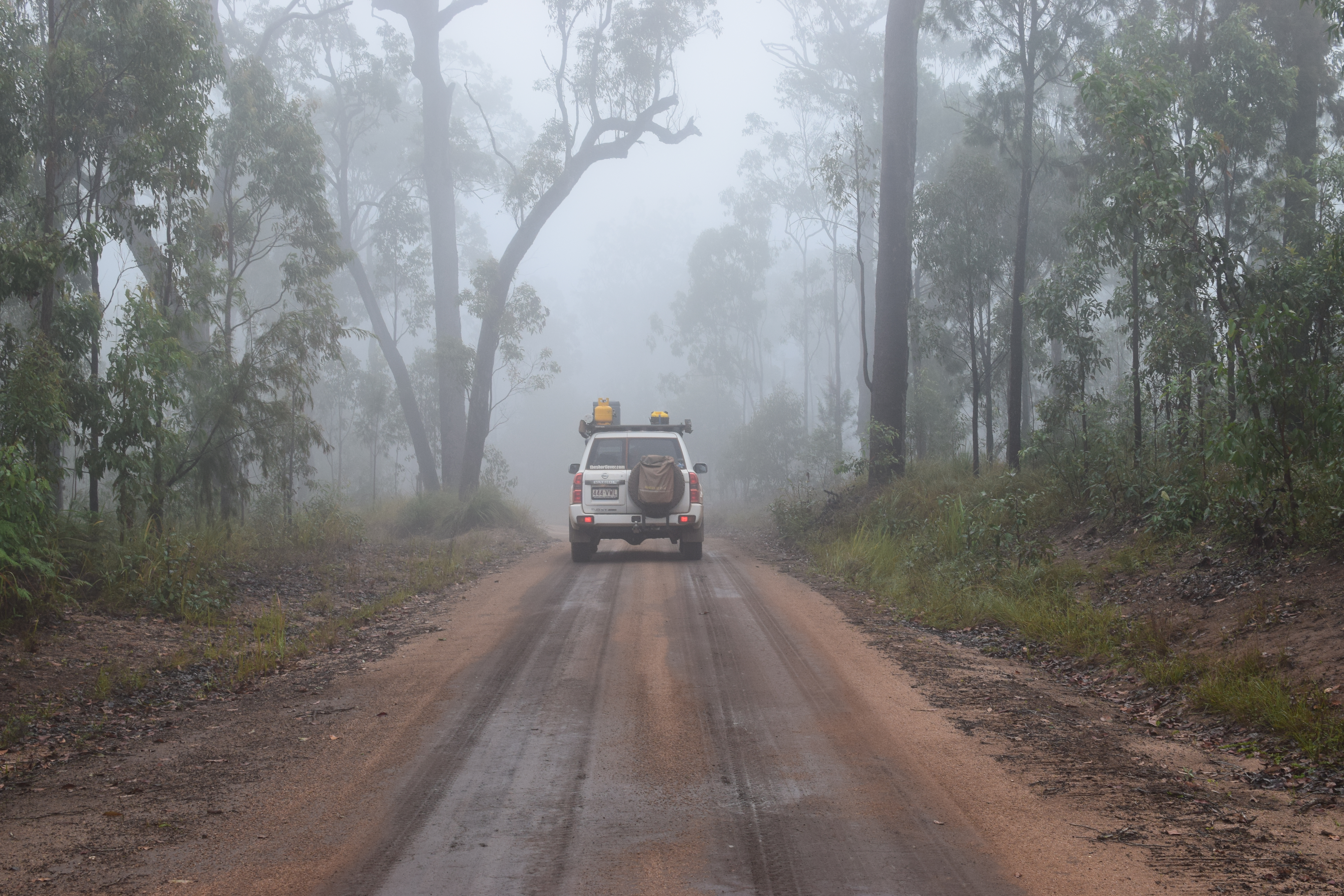
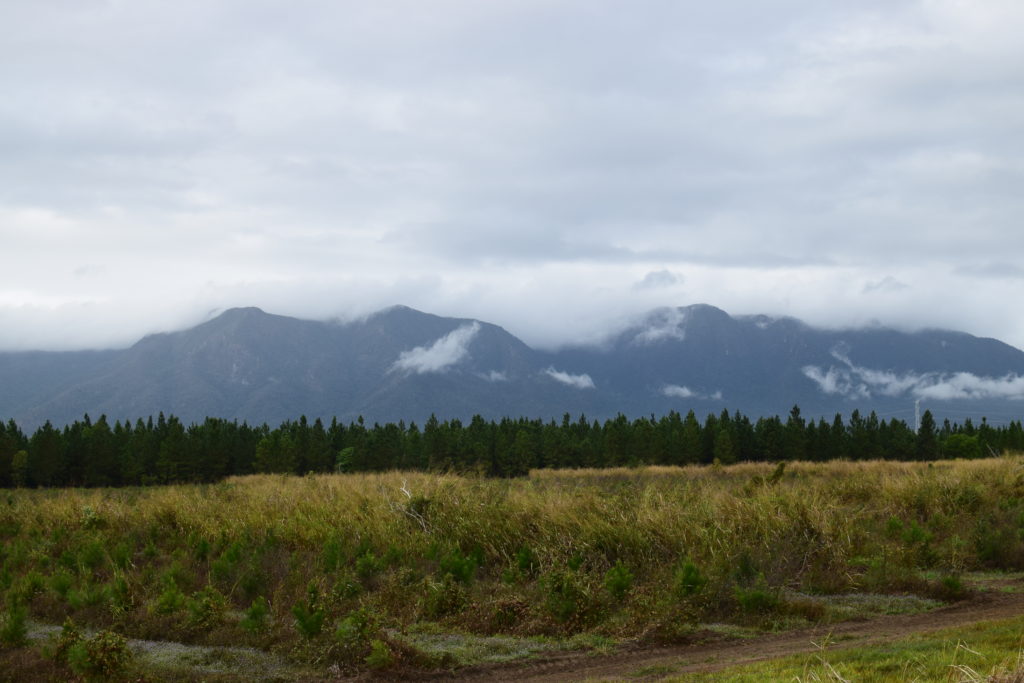
The cane fields give way to the rainforest at the bottom of the Cardwell Range and it is here that it pays to drop the tyre pressures to around 28PSI – more for driver and occupant comfort than outright traction.
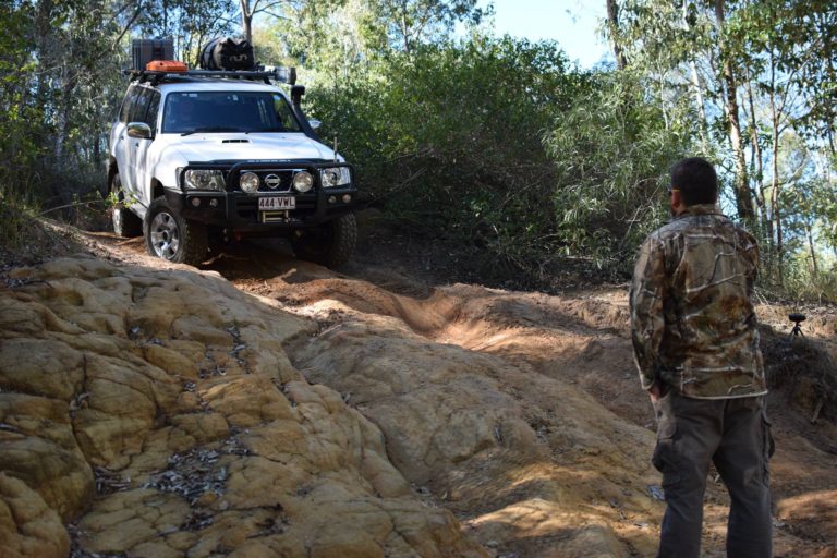
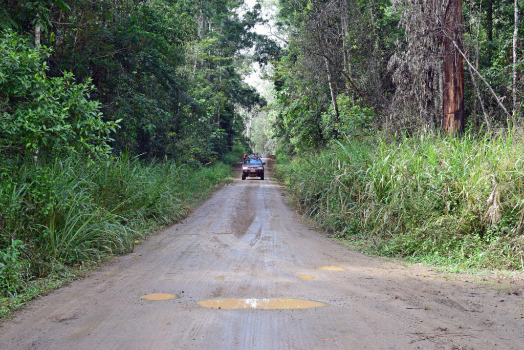
The road itself is maintained but unsealed and is steep and winding. Best to progress with caution as it is single lane for the most part. With World Heritage listed rainforest complete with crystal clear mountain streams out one window and views for miles out the other, your absolute attention isn’t always on the road ahead.
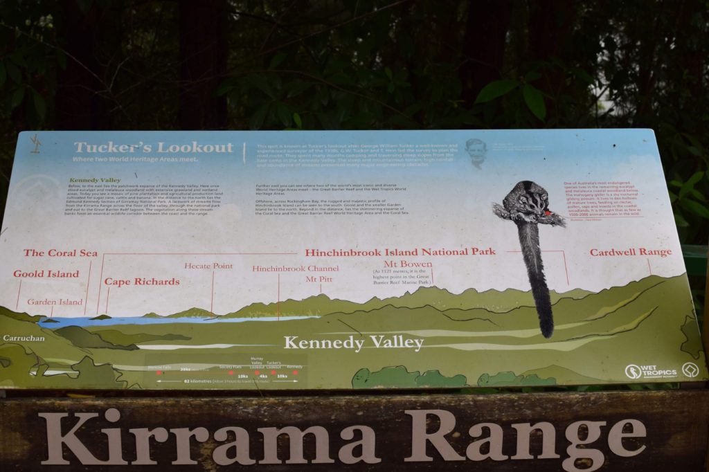
Tucker’s Lookout
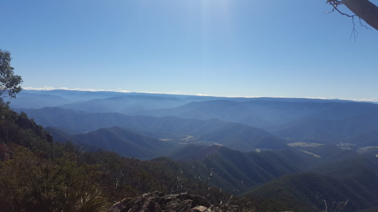
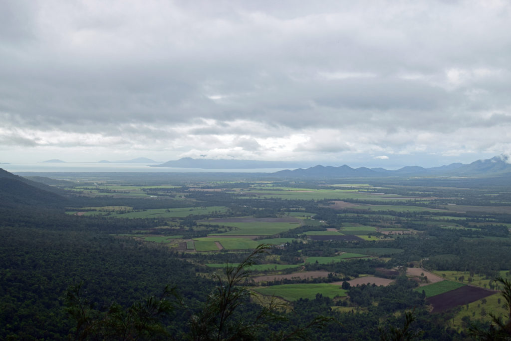
The George William Tucker lookout pays tribute to one of the original surveyors on the project. At about the 10km mark, the gradient of the road is none more evident as you look out high across the Kennedy Valley and to the idyllic Hinchinbrook Island in the background. The steep raking slopes of the range and denseness of the surrounding rainforest say more about the road as an engineering feat than the words inscribed on the stone monument.
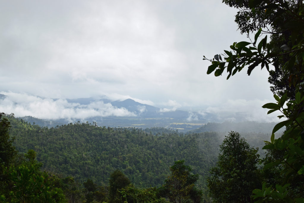
Murray Valley Lookout
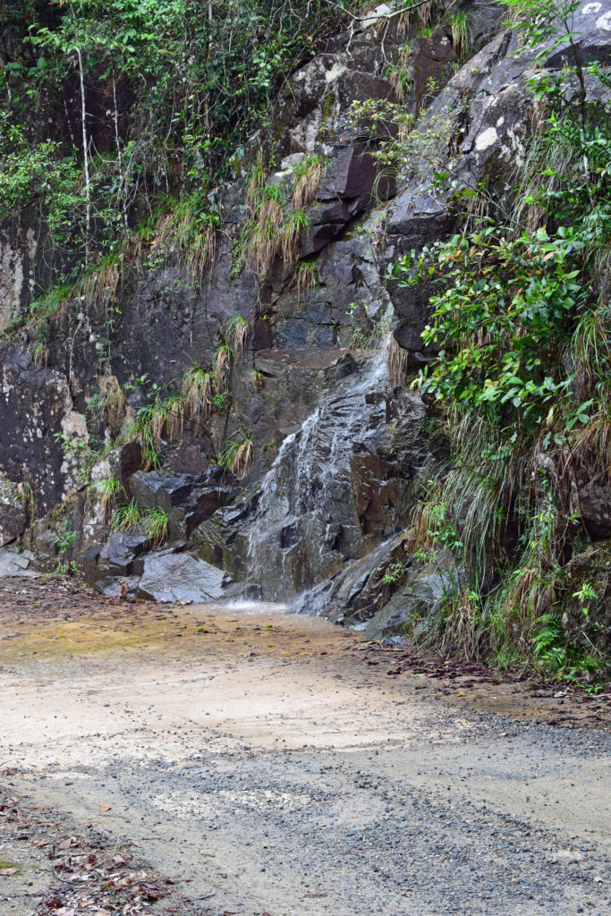
A further 4km up the road is the Murray Valley Lookout. The Murray Valley is a junction, of sorts, taking in the National Parks of Girringun, Girramay and Kirrama. The hinterland views were obscured by low cloud and misty rain but rather than disappointment, this kind of weather only adds to the mystique of what is an amazingly scenic area. With wet weather comes flowing creeks and if there is enough of it around, the Kirrama Range Road provides the unique experience of being able to drive through a waterfall! The twin Juberin Waterfalls drop from high up on the range and spill onto and across the road. Despite the adverse weather conditions the falls were just a trickle on our day of travel.
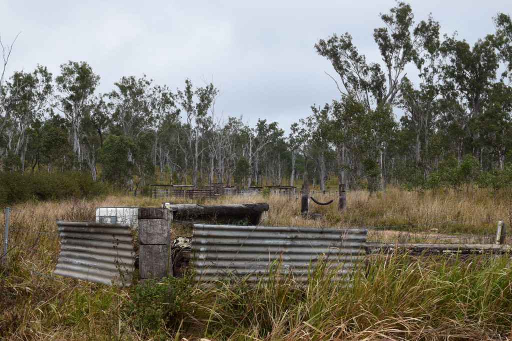
Society Flat
Crossing the top of the range, the steep going finishes at Society Flat. Once an area that supported the local timber industry, Society Flat is a great little spot to stop and break up the drive. A short 720m boarded walk through the towering kauri pines and rose gums highlights the importance of protecting these sorts of areas through sustainable forestry management and timber production.
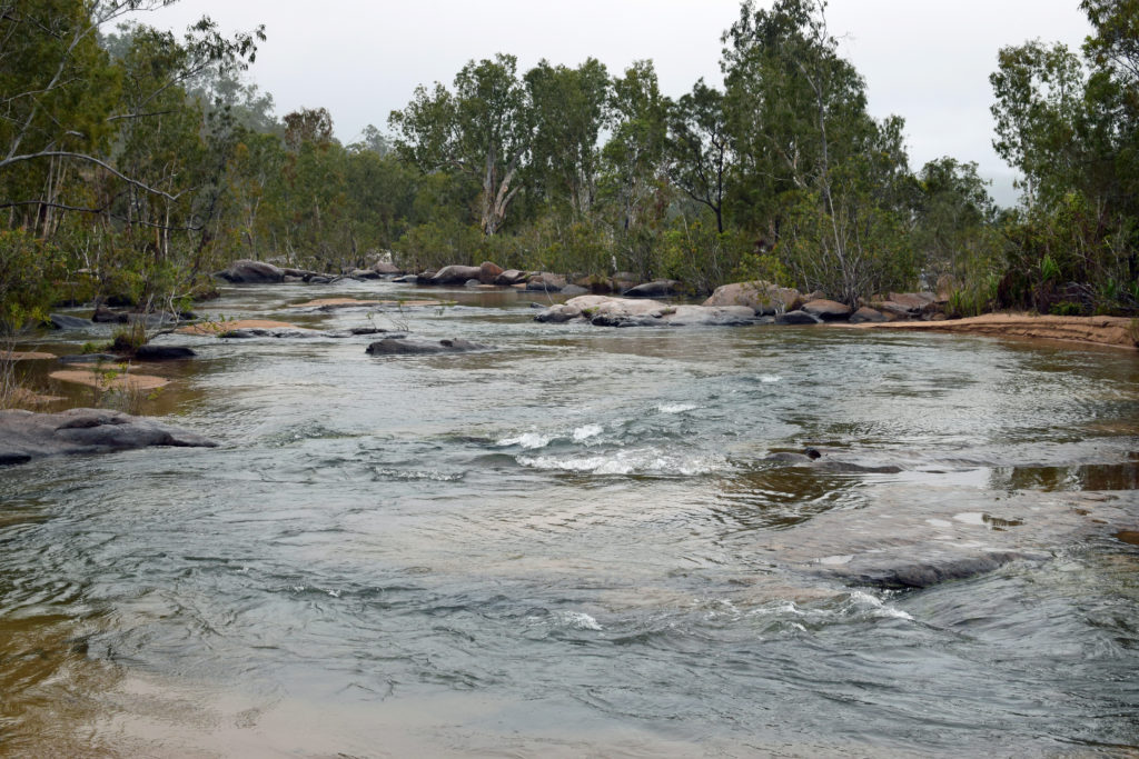
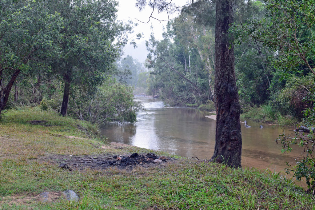
Blencoe Creek
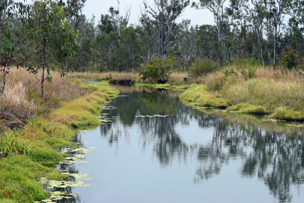
Past the grassy plains of Society Flat and not far before the falls lies Blencoe Creek. Crystal clear waters flow across a sandy bed with some of the best looking campsites located on the creek bank. The water is fresh and I suspect safe for swimming, however, this is North Queensland and the nearby Herbert River Gorge allegedly contains estuarine crocodiles. One would reasonably expect the falls to act as a pretty decent croc fence but best to be cautious all the same.
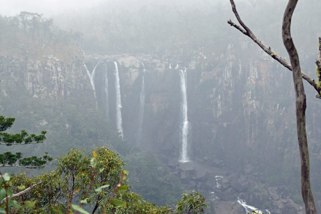
Blencoe Falls
As best as I can recall this would have to be one of the more spectacular waterfalls I have had the privilege to visit. Blencoe is a segmented waterfall with the initial drop measuring around 90m flowed by a further 230m of vertical fall. To see this in the peak of the wet season would be something else entirely.
One could easily spend an hour on the viewing platform in silent admiration of the feature-rich surrounding national parks and rain forests. The area at the falls is a great spot for lunch, which if leaving from Cardwell around 9am should put you pretty much there and then. With stops along the journey this is a great way to see off a day of rain or shine.
Destination Details
Where: Girringun National Park and the Kirrama Range Road are a short 15 minute hop from the coastal town of Cardwell in North Queensland.
Camping: We chose to undertake the drive as a full day trip however camping is offered throughout with some really specc’y creek side spots beside Blencoe Creek. Bookings can be made through the NPSR Website.
Fuel & Supplies: The nearby town of Cardwell is the closest provincial centre and has everything you could possibly need if leaving from the coast side of the range. Mt Garnet is best if heading in from the North-west.
Trip Standard: The Kirrama Range Road and surrounding trails through Girringun National Park are generally straightforward. Traversing during wet weather can be a little slippery in parts but nothing decent tyres and appropriate tyre pressures can’t overcome.