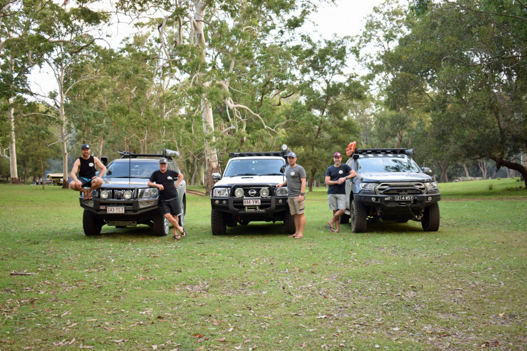

Is this Queensland’s High Country?
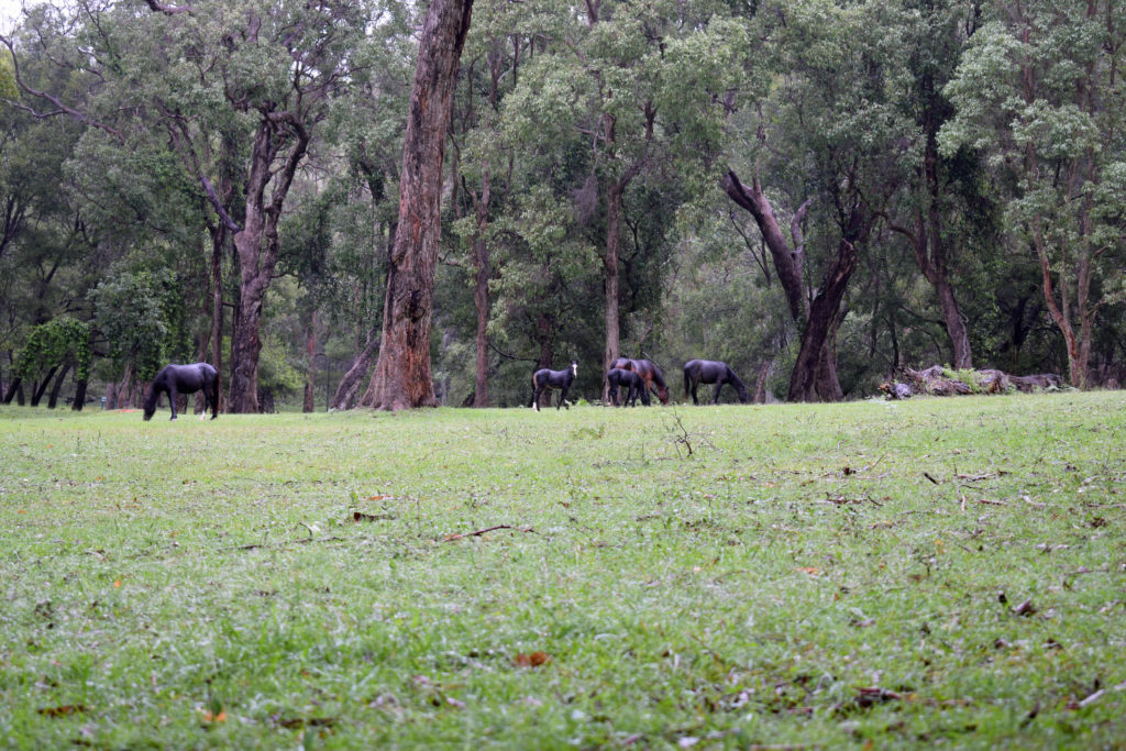
Climbing to 800-odd metres above sea level upon entry to Kroombit Tops National Park it is easy to draw comparison to Victoria’s famous high country. Stock grazing all the way to the park boundary fence, sudden elevation changes, wild brumbies and views to the horizon. While significantly smaller in size and without the extreme weather changes, Kroombit Tops could be considered Queensland’s High Country…
Steeped in Features
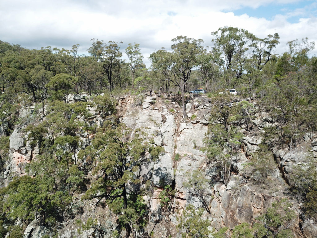
Kroombit Tops owes its topography to volcanic activity which occurred in the area many millions of years ago. Wind and rain have seen to the erosion of many sheer cliffs, some as much as 100m tall. The terrain is varied as is the vegetation. Sections of open Bluegum, Blackbutt and subtropical rainforest paint a picture of true diversity.
Birds and wildlife are abundant with several walks/hikes of various grades providing a means for interaction.
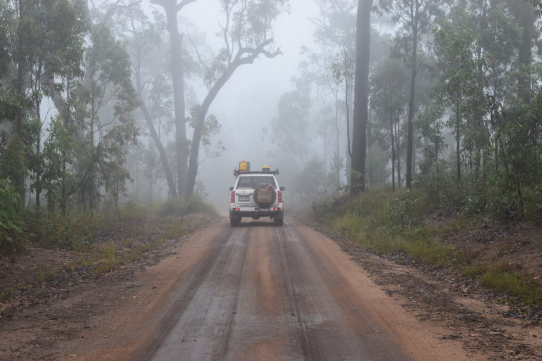
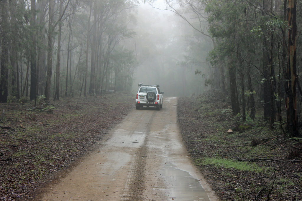
Within the park, rainfall is significantly higher and temperatures lower than the surrounding region. Regardless of the time of year you may want to prepare for any eventuation. Light, misty showers were a regular theme for our stay but rather than hinder they added to the mystique of the area.
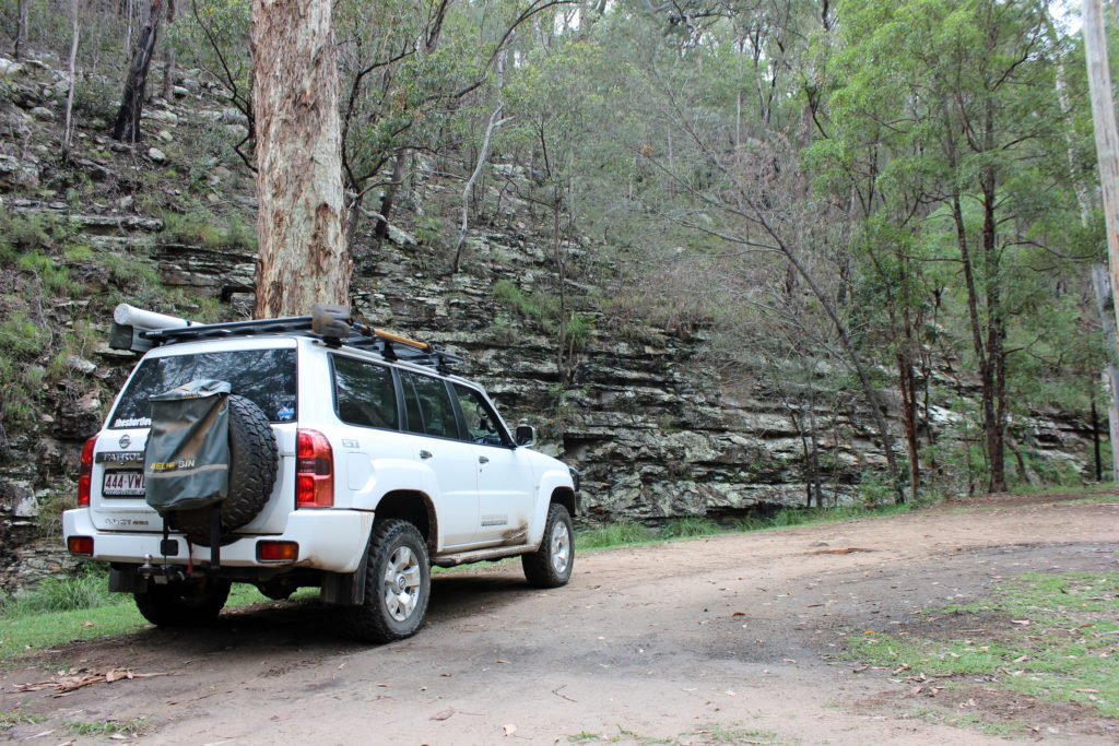
A mostly well-maintained ring road links the campgrounds and significant POI’s.
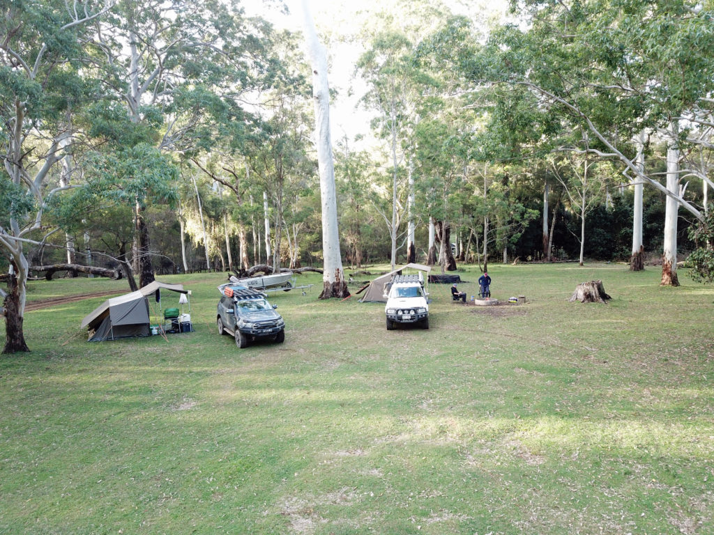
Australia’s Best Campsite
Big call but I am going to throw Griffiths Creek camping area out there. Our visit took in the final few days of school holidays and yet we shared the place with 4 other campers. The opportunities for your own space are endless, it would be difficult to ever imagine it crowded. The space is wide and open. The grass is green and the trees tall and shady. It just looks and feels like an amazing place. This view seems to be shared by the local wild brumby population who are quite active in the space both morning and afternoon.
Hillside or Creekside, the space is generally flat and well kept. Suitable for swags, tents and small campers Griffith’s Creek is a great base for further exploration of the park.
There are no facilities beyond what you bring with you. Fire pits are scattered throughout but wood must also be transported in with your kit. I don’t tend to do too well sitting still for long but this is one of only a few places I seem comfortable doing just that.
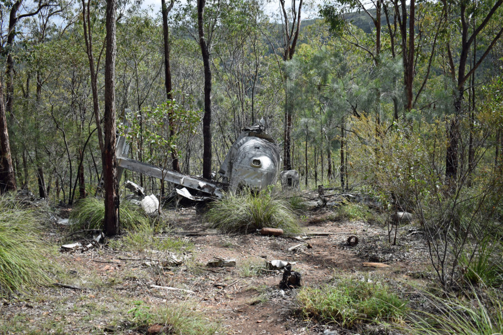
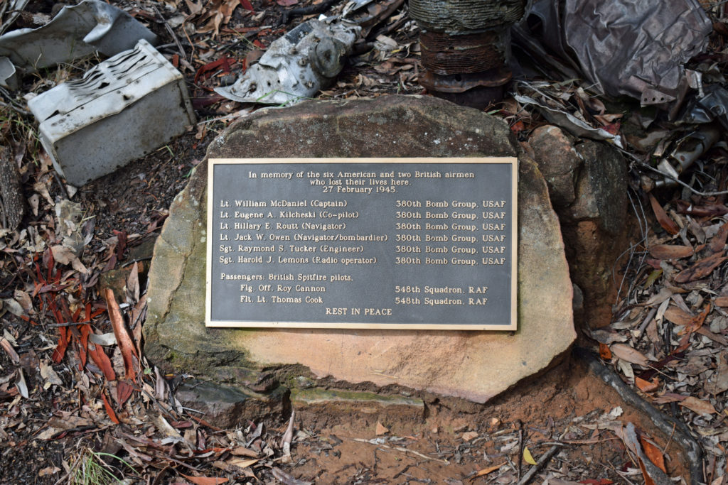
Beautiful Betsy
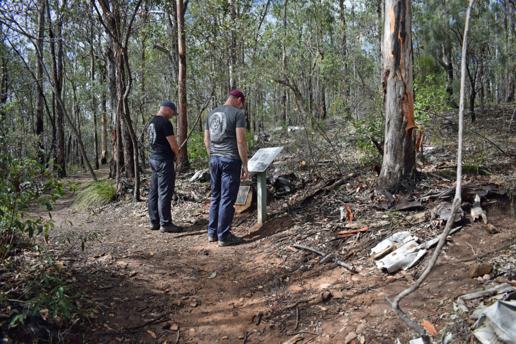
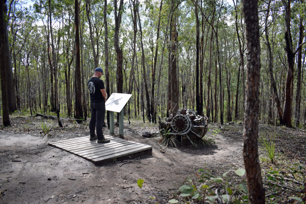
A well preserved piece of Australia’s heritage provides a window into our wartime past. Beautiful Betsy, a US Liberator Bomber from World War 2, crashed heavily into mountain-side terrain within the park. While the crash occurred in February 1945 it was not until August 1994 that a ranger happened upon the crash site.
Amazingly, large sections of the plane remain intact including the tail, wings and engines. Debris is strewn throughout the area which gives an idea of the severity of the impact. Eight servicemen lost their lives in the crash and the establishment of a permanent memorial is an apt way to honour this loss of life.
The Beautiful Betsy crash site and memorial lies at one end of the loop road (about ½ hour drive from the Griffiths Creek camping area). The walk through the crash site is short and straightforward for most ability levels.
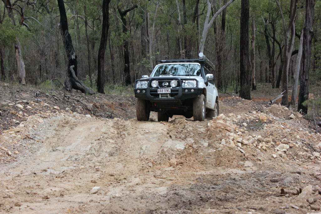
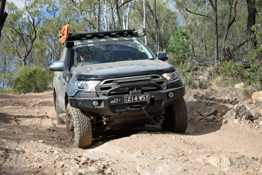
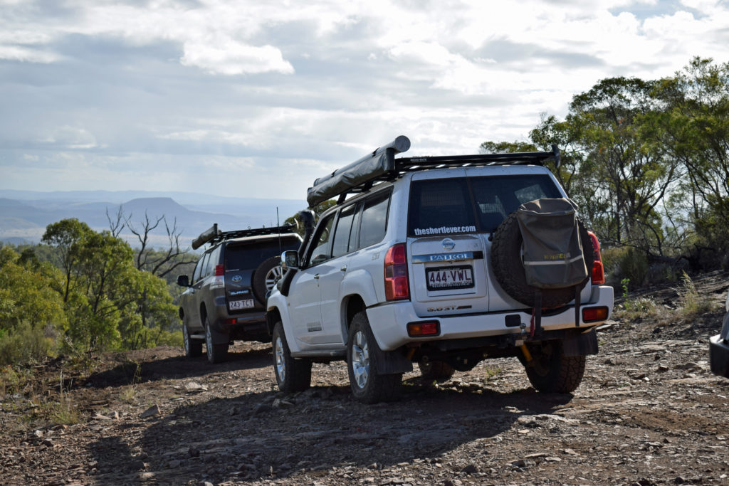
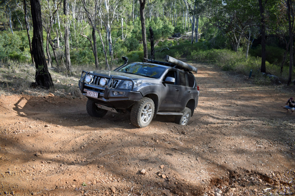
Razorback Track
Accessible only by high clearance 4WD, the Razorback Track doubles as a park access / entrance from Biloela. It is not recommended for trailers of any kind and while this is not instantly apparent in the dry, thinking about what a few drops of rain might do, it makes perfect sense.
The Razorback Track starts (and finishes) just outside Griffiths Creek camping area. The track is does not loop to any other roads in the park so you will have to drive it, turnaround, and drive back.
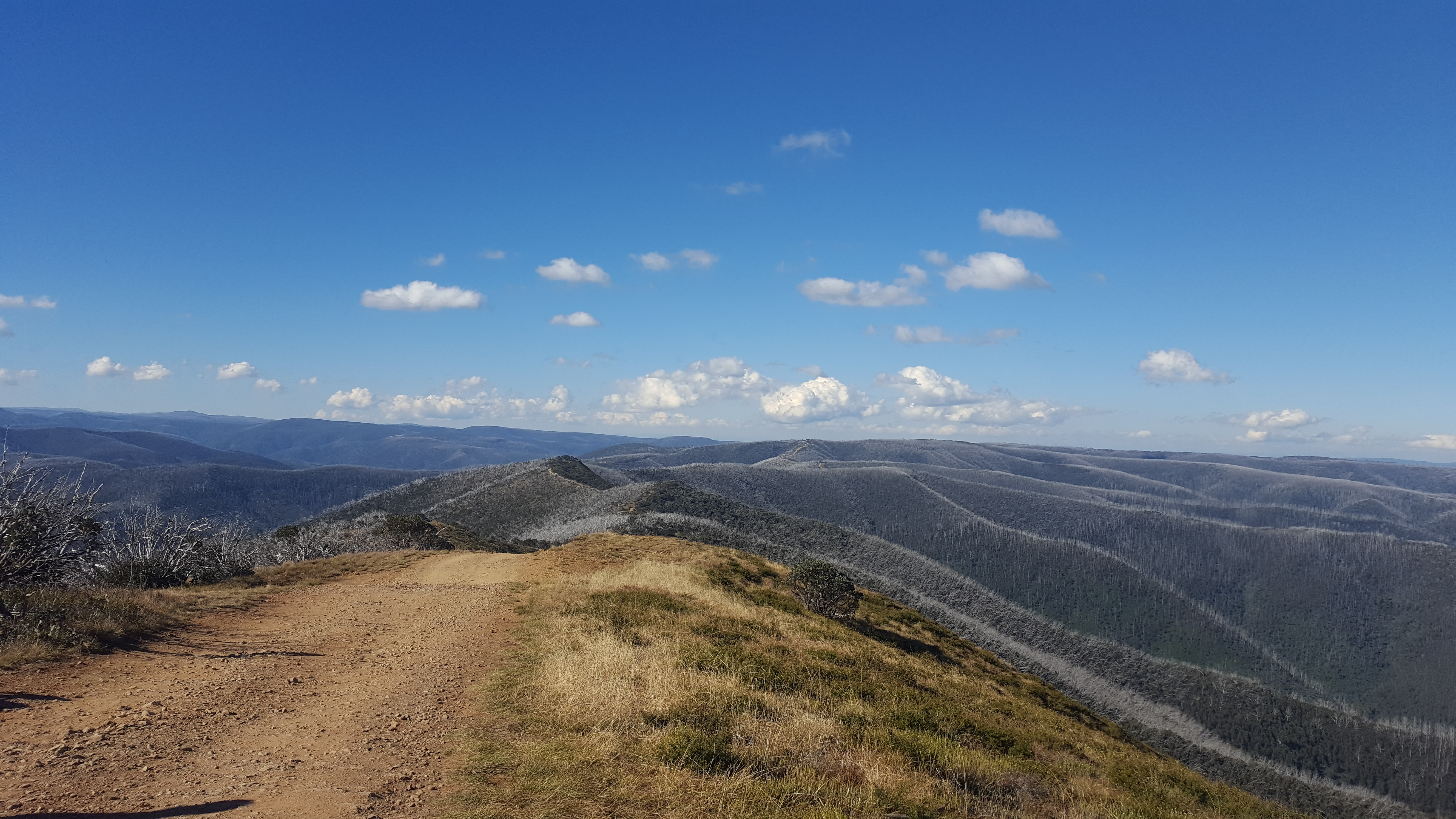
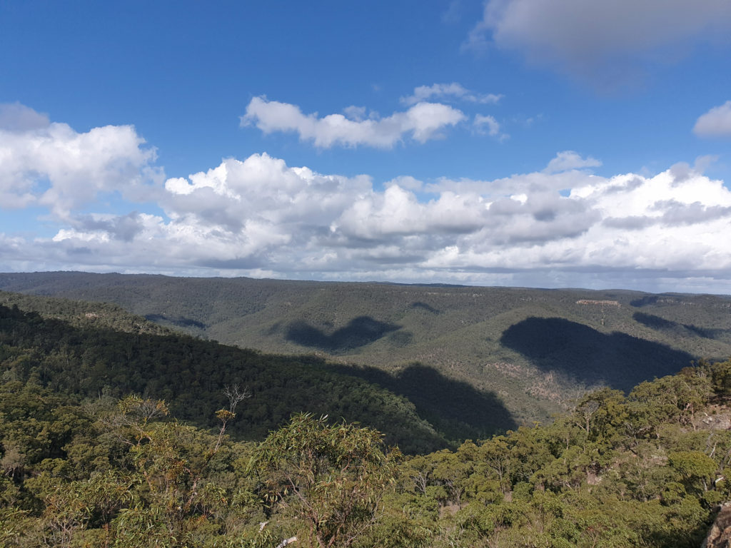
Traversing a ridgeline, the views are majestic. Places to stop to take it all in or for photographs are plentiful and seemingly better the further you travel. The terrain is generally loose over hard with several ascents and descents (of significant grade) to give the low range gearing a work out and test one’s line selection.
The Razorback Track is a solid half day trip in the dry and could be anything beyond that with a bit of rain. Throw in a lunch stop at Marble Waterhole and you have yourself a fun day in the making.
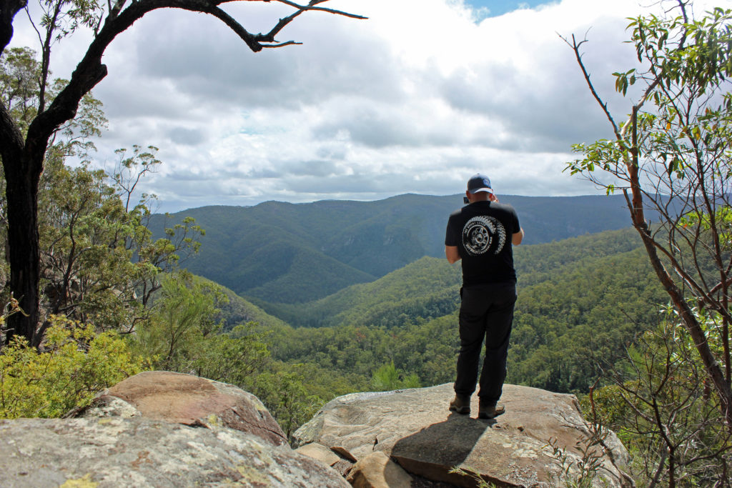
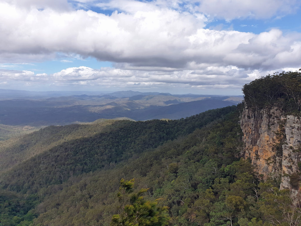
The Lookout
Located a stone’s throw from Griffiths Creek camping area, the viewing platform faces east providing views to the coast across the Boyne Valley. The Lookout sits atop an escarpment and is the starting point for a couple the park’s walking tracks. The Rainforest walk is a simple 300m return circuit through a section of tropical rainforest. The Escarpment Track is a 13km one-way hike finishing at the ranger’s barracks not far from Griffiths Creek camping area.
Interesting to note that the Bicentennial Trail passes through Kroombit Tops National Park. It is open only to hikers with several camping spots located along the way.
Destination Details
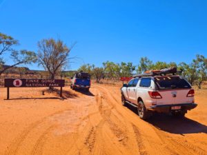
Where: Kroombit Tops National Park is located approximately 85km west of Gladstone via Calliope or 40km northeast of Biloela. Access into the park is suitable for 2WD vehicles in dry weather only.
Camping: A large open camping area at Griffiths Creek with smaller spots at The Wall and Razorback. No facilities exist at any of the camp grounds with the only toilet we noticed at The Lookout – prepare to be 100% self-sufficient.
Fuel & Supplies: The nearby towns of Calliope and Biloela are the closest provincial centres and have most things you are likely to need.
Trip Standard: Access to the park from Calliope is via gravel road with the last several kilometres completed at a reasonable gradient. Within the park the 4WD Loop Track is generally maintained and in most parts appears suitable for 2WD vehicles, however, we traversed during wet weather and there were sections that would be impassable to anything but a high clearance 4WD. The Razorback Track should be considered 4WD only with plenty of rough ascents and descents. Mobile phone reception is generally unavailable however, several locations are marked on the Kroombit Tops map indicating localised mobile access.