You are currently viewing Blue Skies and Red Dirt – The Red Centre

Blue Skies and Red Dirt – The Red Centre

Can't Have The Destination Without The Journey

How much can one see in 2 weeks? Armed with an adventurous attitude the answer is, a lot. Having forgone a trip to the Victorian High Country at the commencement of lockdown, the 2 weeks of annual leave was re-purposed into a red centre trip complete with all the blue skies and red dirt one could want. This is how the Short Lever did the red centre…

Travelling 2900kms from Brisbane to Yulara in 3 days is a tall order. Like many, limitations in annual leave and time away from home necessitate compromise from time to time. Not willing to compromise on the adventure we chose the Plenty Highway as our path of travel. The Plenty Highway is a shortcut of sorts linking Boulia and Alice Springs (the unofficial capital of the red centre). It’s not so much of a highway as a high speed dirt track. The unsealed section commences not far out of Boulia and finishes up just past Harts Range in the NT. The going at this particular time was quite good but with a great deal of bulldust.

Our trip along the Plenty was punctuated by an overnight stop at Tobermorey Station, just across the Queensland / NT border. Having left Longreach on sunrise it was a logical choice. Tobermorey Station is a working cattle property which offers accommodation (camping area or cabins), fuel, basic repairs and supplies. Having rolled in late afternoon, the sight of the shady, green camping oasis was all too inviting.

The middle section of the Plenty to us, was the most scenic and enjoyable. The slight elevation changes in the road combined with the generally flat surrounding landscape makes for some striking views, particularly on the approach to Harts Range. The dry crossing of the Marshall and Plenty Rivers provoke thought of exactly how different things would look when in flood.

Driving the Donohue Highway / Runway
View down the Kennedy Development Rd
Dropping anchor at Tobermorey Station
The Plenty Highway under a greying sky

Yulara

Difficult to imagine nowadays, but prior to 1976 motel style accommodation was available up to and around the base of Uluru. Having been granted the opportunity to self-govern in 1978 The NT prioritised the establishment of Yulara to support tourism activities in Uluru-Kata Tjuta National Park.

The full range of accommodation options are available in Yulara and it is certainly the most appropriate place to base yourself in the area. From the campground to backpacking style facilities and hotel rooms there are options to suit all. Being a true touring style holiday, we opted for the campground and were not disappointed. The grounds are large and contain several modern, well maintained amenities blocks and a well provisioned camp kitchen area.

The design of the township sees everything fairly centrally located. There are several restaurants, ANZ bank, post office, gift shop and IGA supermarket all located in the “town centre”. Yulara also offers the usual array of tourist activities such as sunrise/sunset camel rides, joy flights, guided tours and the field of lights experience. Uluru is approximately 18kms up the road with Kata Tjuta a further 30kms onward.

Camp Yulara
You could want for nothing more..
Sturt's Desert Pea

Uluru

Quite possibly the most culturally significant site in Australia and certainly the most recognisable. No trip to the red centre can be considered complete without seeing this icon. Uluru stands around 350m high with a total perimeter of 9.4km. To some it’s just a whopping great lump of rock but up close it is seriously impressive nonetheless. Your first “lap” around Uluru may take some time but it is an experience you are unlikely to forget. Every face of the rock is different, none more so than early morning and late afternoon in front of a golden sun. It really is difficult to take your eyes off it.

The 10km base walk is generally flat, easy going and probably the best way to get up close and personal. The walk will take around 3hrs and is best undertaken in the cool of morning as it is fully exposed to the elements. Water, sun and fly protection are the absolute minimum requirement for any daytime activities.

The sunrise and sunset viewing areas are also great spots for those feeling less energetic. Such is the enormity of the experience; it is easy to spend a full day exploring the rock from all angles.

Without doubt a highlight of our time at Uluru was the camel ride and viewing of the field of lights. Both activities were undertaken in the late afternoon / early evening and provide a uniquely interactive viewing of Uluru.

Blue Skies & Red Dirt
The many faces of Uluru
Blue Skies & Red Dirt
Uluru sunset
Blue Skies & Red Dirt
A unique way to view Uluru from a distance

Kata Tjuta

Not far up the road from Uluru lies the equally impressive rock formation known as Kata Tjuta. Comprising 36 individual “domes”, Kata Tjuta rises 546m above the surrounding plain. The panorama from the viewing area several kilometres out is seriously cool and gives perspective to just how large the formation is.

Unlike Uluru, there is no ring road or opportunity to drive the entire way around Kata Tjuta. There are, however, a couple of different walks which provide the opportunity for a closer inspection of the formation. The Walpa Gorge walk is a short 2.6km return stroll past the sheer gorge walls and seasonal stream.

The Valley of the Winds circuit is approximately 7.4kms and reasonably hectic. It too is fully exposed with steep and rocky sections making for some tough going at times. The reward is the views from Karu and Karingana lookouts. At the 1.1km mark you reach Karu lookout and for most people this is a reasonable point to “tap out” and head back to the car.

Blue Skies & Red Dirt
Kata Tjuta
Blue Skies & Red Dirt
On the march to Karu Lookout
Blue Skies & Red Dirt
Karu Lookout
Blue Skies & Red Dirt
Valley of the Winds

Finke Gorge

Finke Gorge National Park is home to Finke Gorge itself and the Finke River. Located approximately 300kms from Yulara via Ernest Giles Rd it epitomises everything about remote area travel and camping.

The Finke River is quite possibly the oldest river and catchment system in the world. Several hundred metres wide in places, it would make some sight in flood conditions. Other than the gates at either end of the park, there is very little else to remind you of the civilised world outside.

The track traverses the river bed and is slow but still quite good going. The terrain swaps between hardened dirt, river sand and stones. The drive is spectacular. The gorge walls are a rich red and heavily contrasted by the odd Ghost Gum hanging on for dear life.

The landscapes down in the gorge are classic of outback Australia. River sands, stones and Coolabah Trees in the foreground with red escarpments and blue skies providing the filler.

While the gorge drive itself could be completed within a day, the remoteness of the park requires an overnight stop somewhere in transit. Boggy Hole (within Finke Gorge National park) is a decent enough spot for this with water views an added bonus.

Remoteness brings with it an increased importance on self-sufficiency. There is quite literally nothing in Finke Gorge National Park and trip preparations need to be undertaken mindful of this. If the blacktop roads of Yulara are a little too “vanilla” for you, consider an adventure up the Finke River Gorge on your visit to the red centre.

Crossing the Finke River
Boggy Hole
Blue Skies & Red Dirt
Traversing the Finke River
No shortage of wild horses
Reward for a long day in the saddle

Kings Canyon

Watarrka National Park is home to Kings Canyon. It is around 300km from Yulara via the blacktop or 200km from the northern entrance to Finke Gorge National Park via high-speed corrugated dirt road. Whether viewed up close or from a distance at sunset, Kings Canyon is spectacular.

We chose to undertake Finke Gorge and Kings Canyon across several days as a loop out of and back into Yulara. Arriving mid-afternoon at Kings Canyon Resort allowed for a quick set up and a roast in the oven before enjoying a sunset viewing of the Canyon from the resorts’ purpose built deck. Kings Canyon Resort offers a range of accommodation options from unpowered sites to powered ensuite sites to hotel style rooms.

The canyon itself is a short drive from the resort and it’s here that the hiking boots are laced up once more. The Kings Creek walk is the most straight forward and stays low down within the canyon. It is a mere 2.6km return and quite well shaded in the canyon tree growth. The Rim walk is a 6km trek around the top of the canyon with the initial 500 steps almost straight up. For those wanting the ‘next level’ the Giles Track is a 22km walk between Kings Canyon and Kathleen Springs.

It is possible to visit Kathleen Springs without the blisters and sore feet. A little further by road, a short walk from the carpark and you arrive at the amazing little oasis that is Kathleen Springs. Originally utilised as a stock mustering and watering location it almost looks out of place amongst the surrounding landscape and terrain.

Blue Skies & Red Dirt
Kings Canyon from the resort
The creek walk
Kathleen Springs
Yellow Faced Whip Snake
Blue Skies & Red Dirt
Kings Canyon

Destination Details

Handy Links

https://www.ayersrockresort.com.au/accommodation/ayers-rock-campground

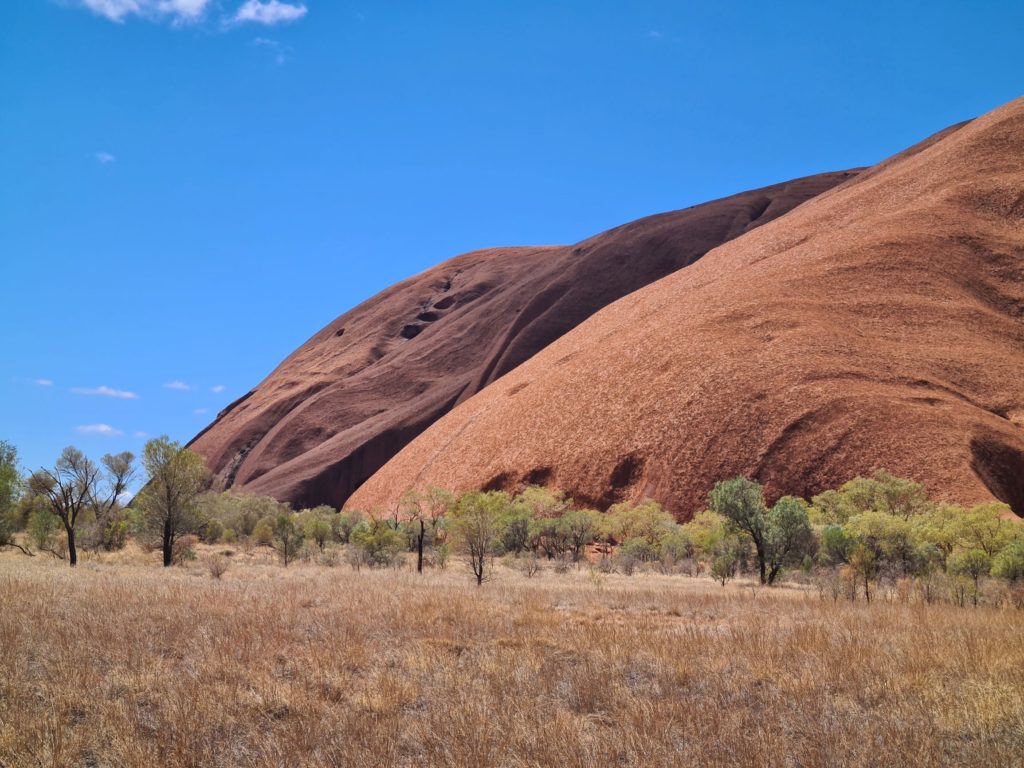
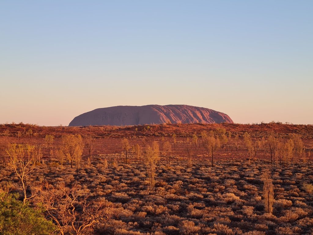
https://parksaustralia.gov.au/uluru/

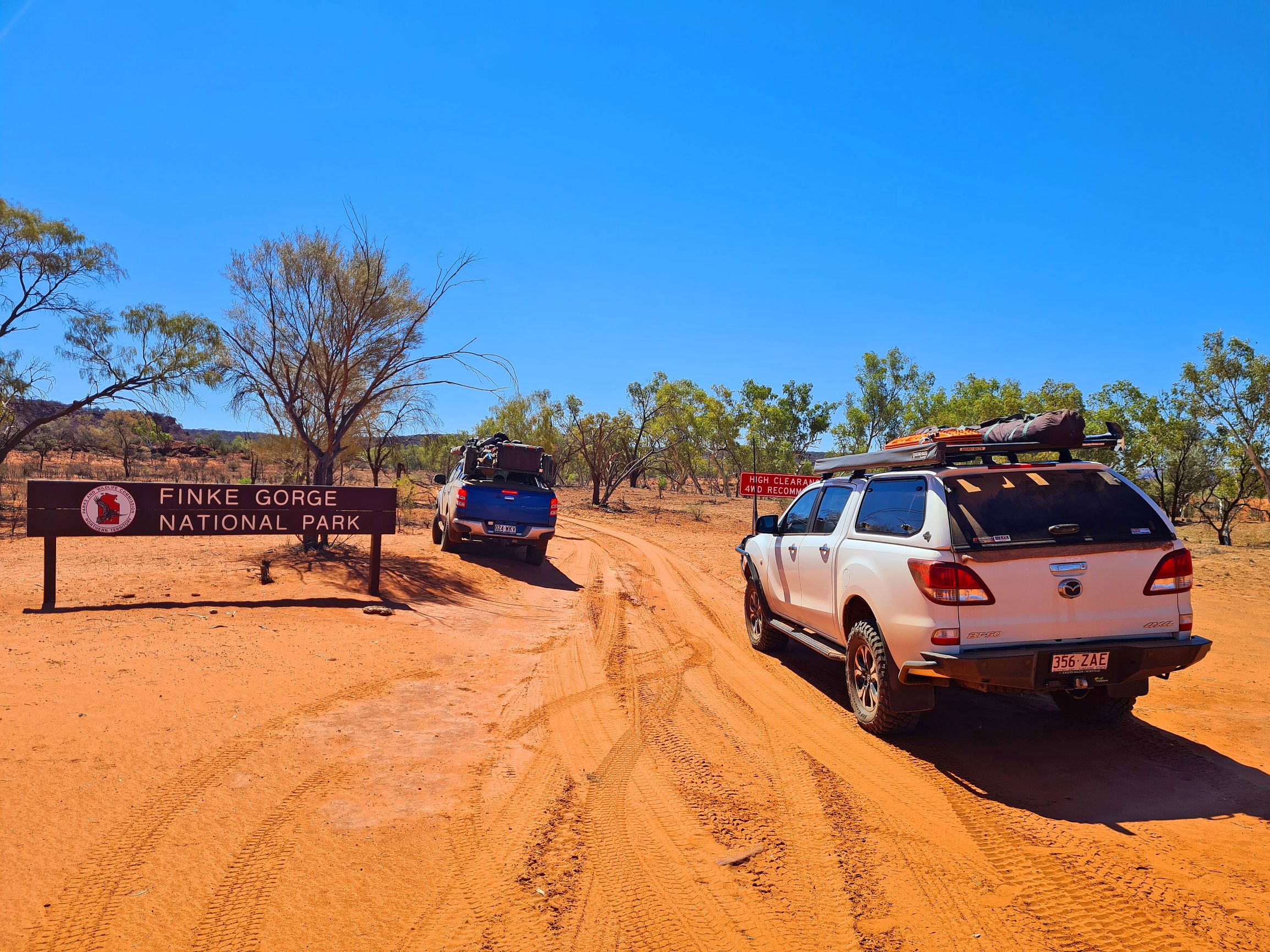
https://nt.gov.au/leisure/parks-reserves/find-a-park/find-a-park-to-visit/finke-gorge-national-park

https://www.kingscanyonresort.com.au/index

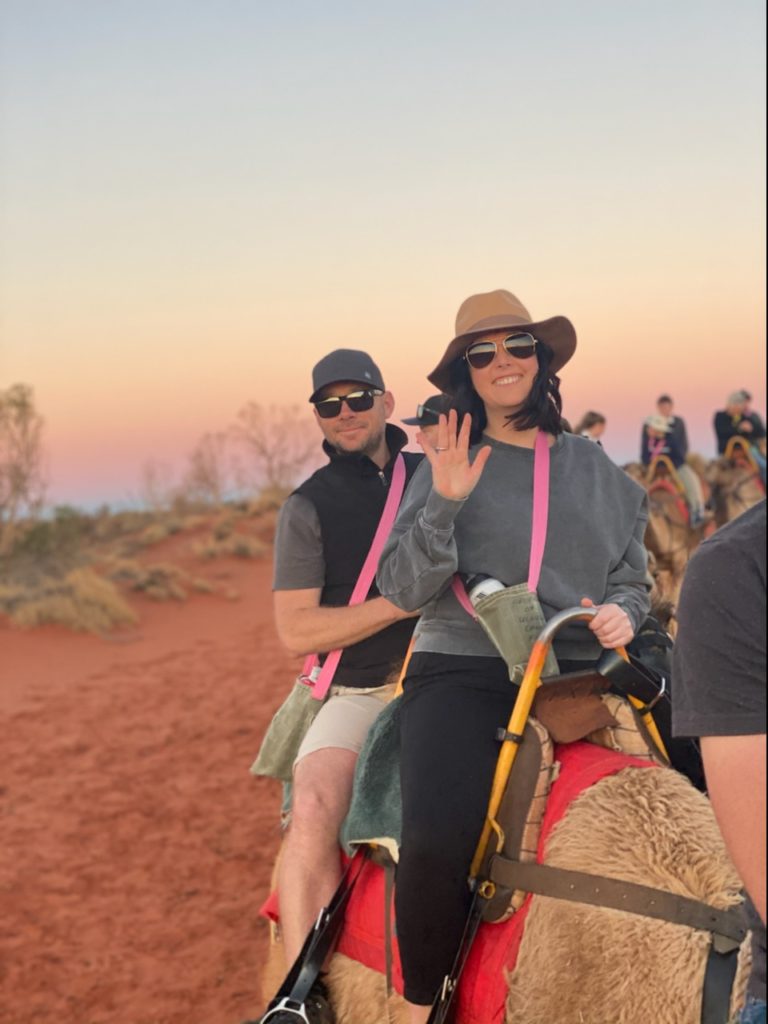
https://www.ulurucameltours.com.au/

Where:

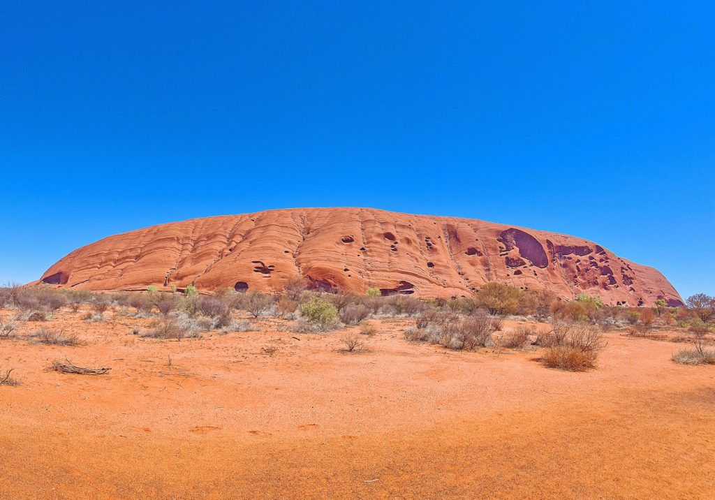
The Red Centre generally refers to the Southern desert region of the Northern Territory. More specifically Yulara is located 446kms South-west of Alice Springs.

Camping:

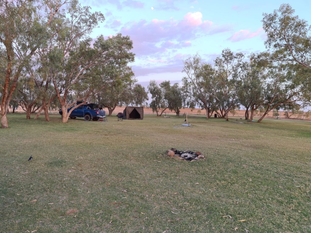
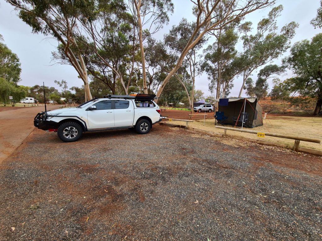
The caravan park at Yulara suited us down to the ground although there are many other accommodation options as part of the greater resort. We were happy enough with a basic, unpowered site.

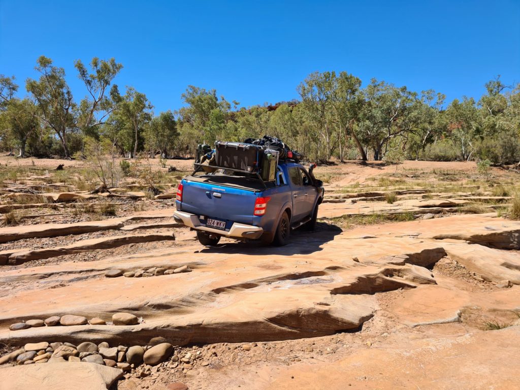
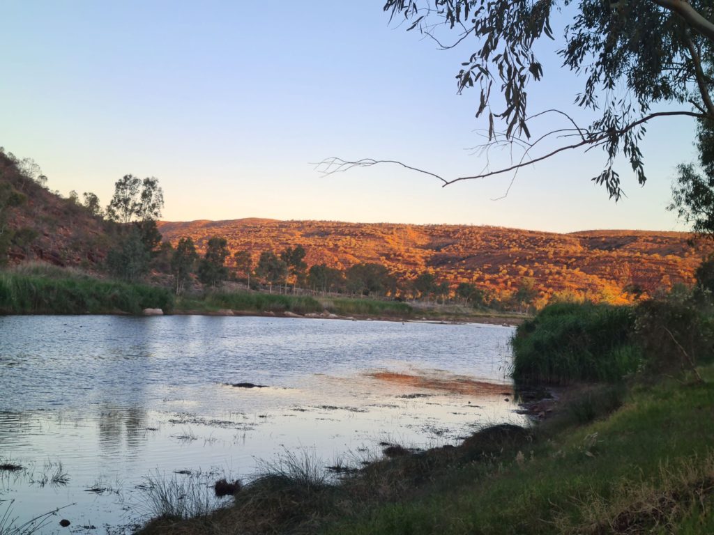
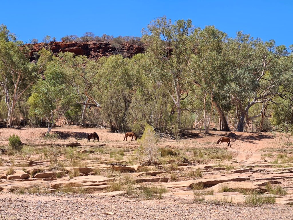
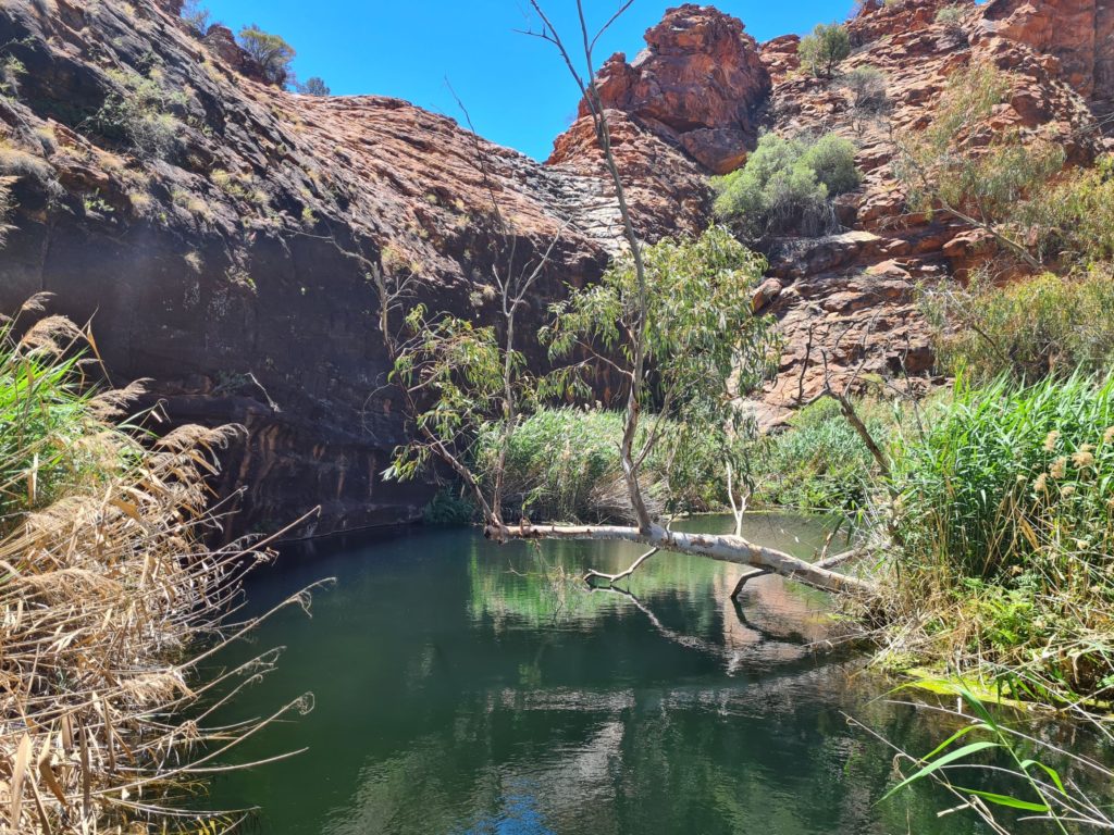
We camped at Boggy Hole on our travels though Finke Gorge for the complete remote experience.

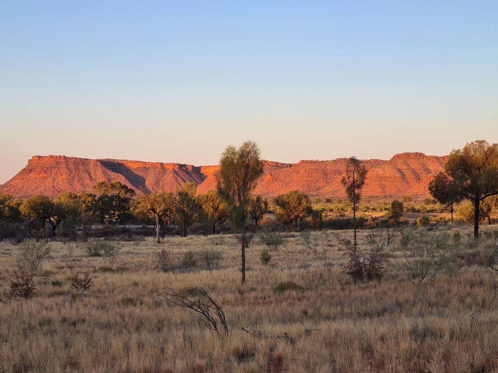
Kings Canyon Resort like Yulara offers various accommodation options. Again, we opted for a basic unpowered site with unobstructed views to the canyon.

Fuel & Supplies:

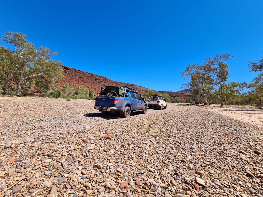
Fuel is available in Yulara and Kings Canyon Resort. You should be able to manage your travels around a full fill at these places. Without towing, we were able to complete the Finke Gorge drive on less than a tank of fuel, by filling up in Yulara and then again in Kings Canyon. Do your research on fuel stops throughout the red centre, particularly their opening hours, and in the case of the Mt Ebenezer Roadhouse on the Lasseter Highway, whether it was actually open at all.

Trip Standard:

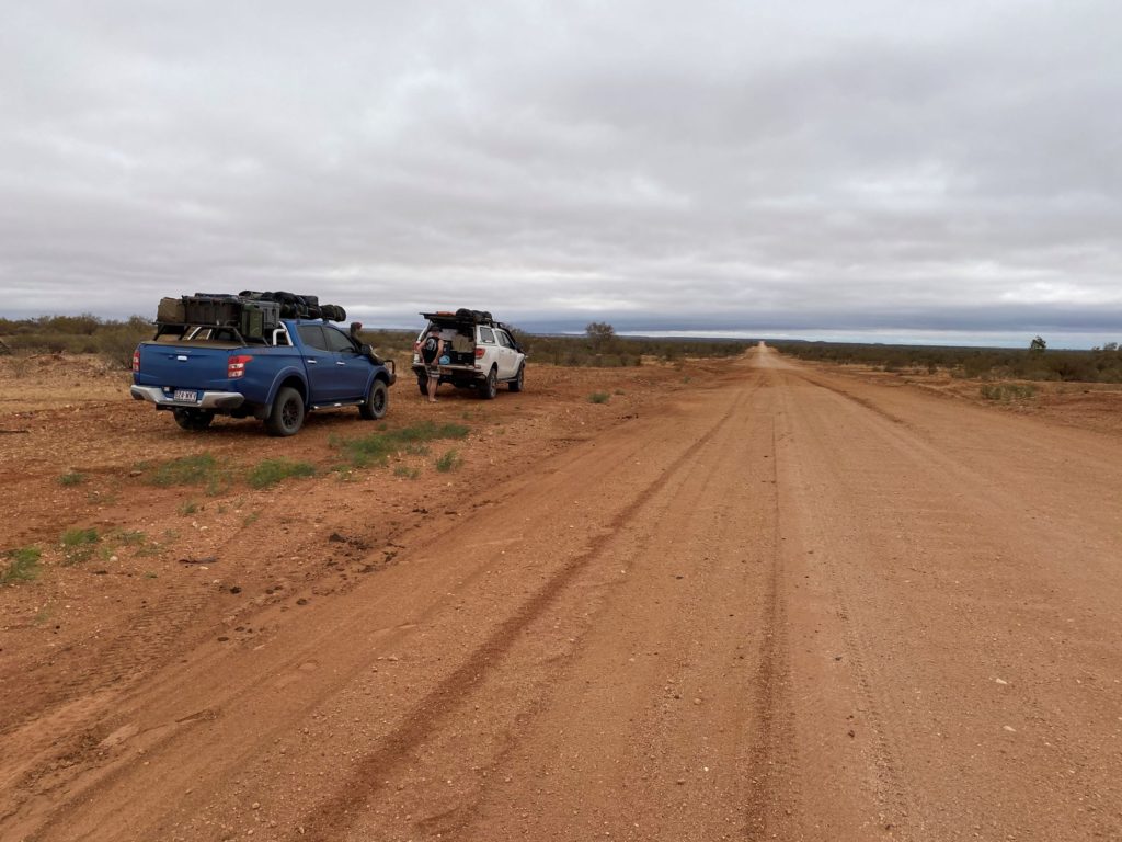
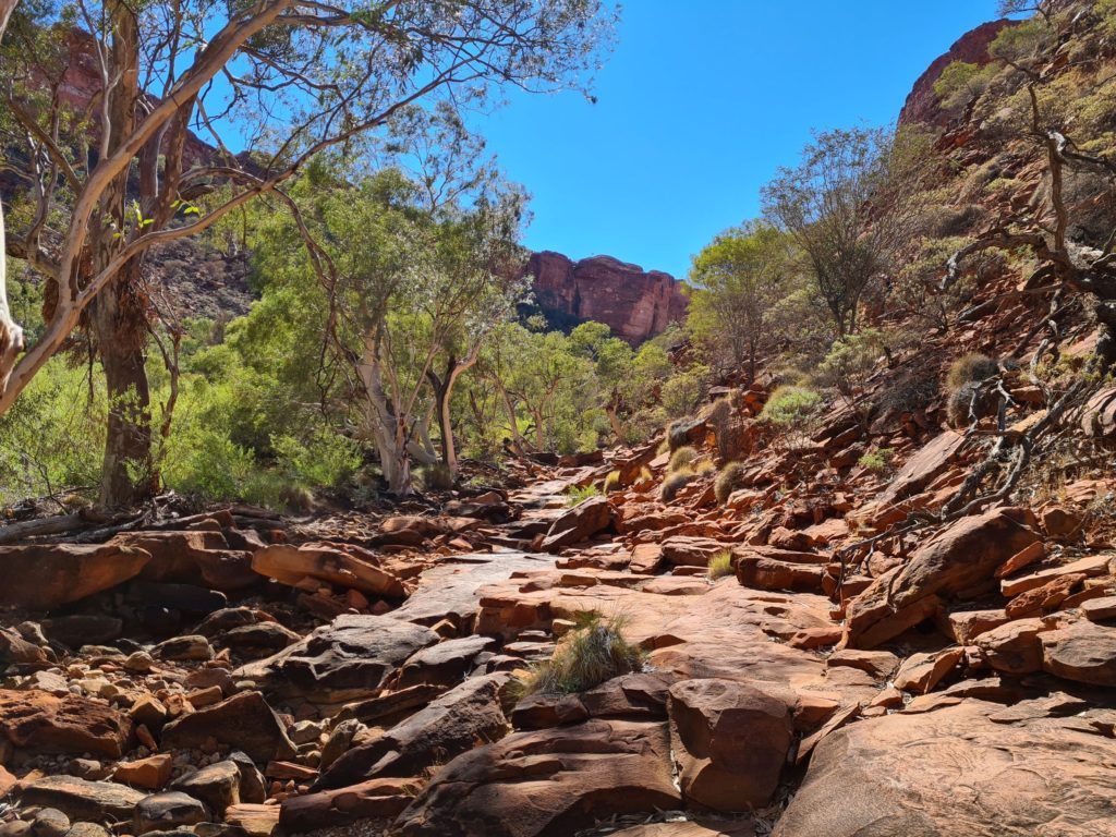
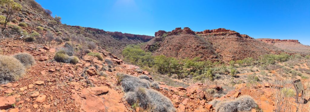
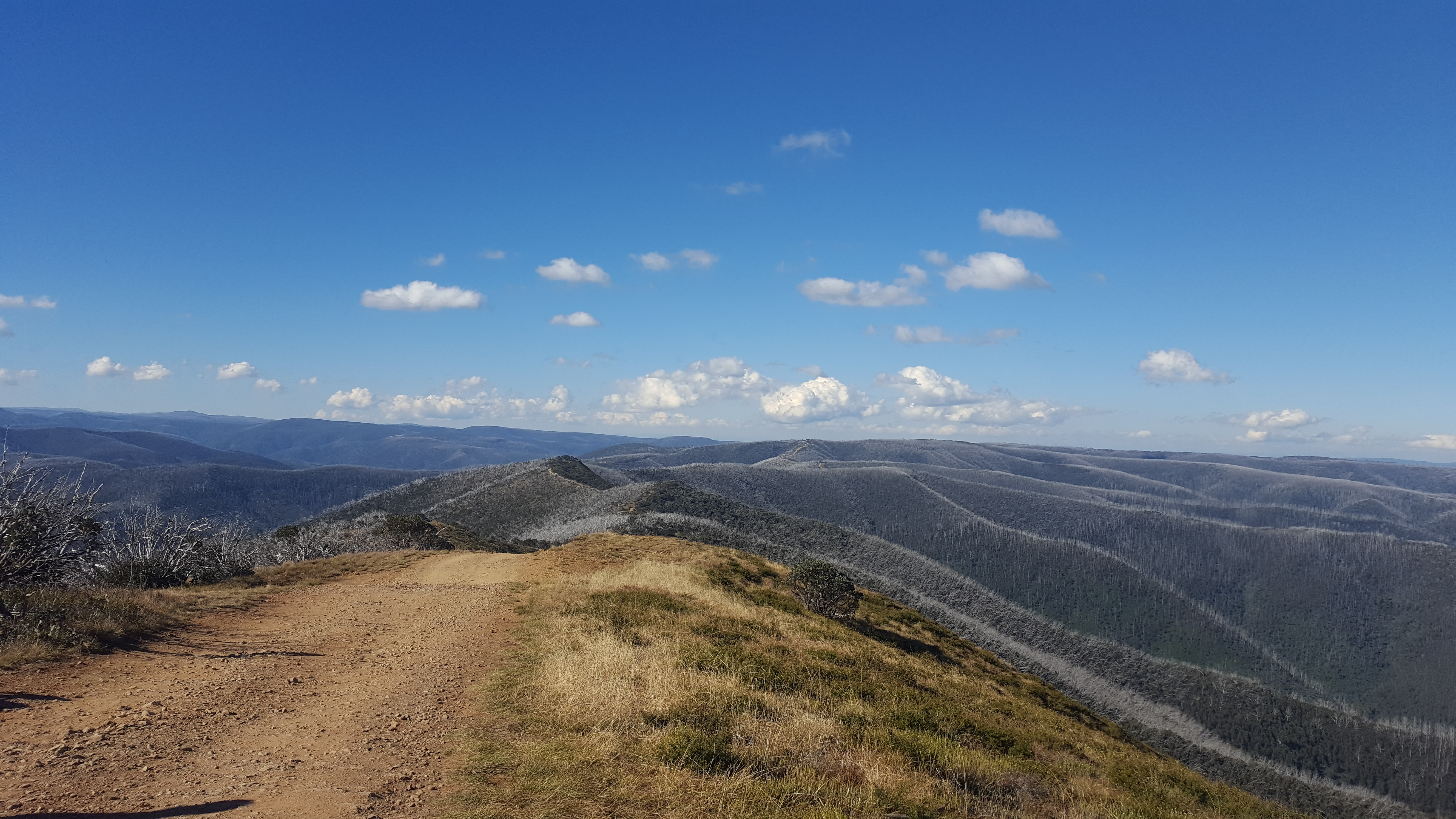
A combination of sealed roads, high speed corrugated dirt and low range 2nd gear. The Finke Gorge track is unmaintained and follows the bed of the Finke River. Even so, it should be relatively starlight forward for a traditional 4wd with decent tyres and suspension.

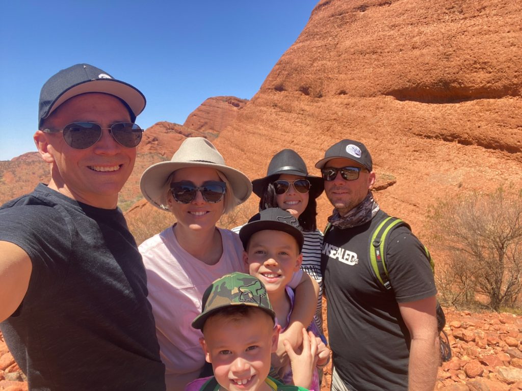
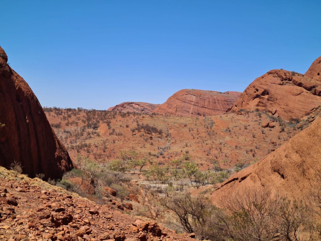
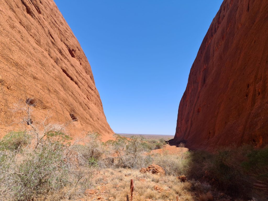
Photo Credit: A MacHunter, B MacHunter, M. Handford

This Post Has One Comment

  1. Kathleen Watkins

    What an adventure you had. Looks amazing.

Leave a Reply